
You are now following this Submission
- You will see updates in your followed content feed
- You may receive emails, depending on your communication preferences
Cite As
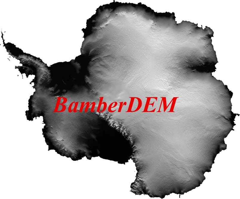
Chad Greene (2026). Bamber et al. Antarctic DEM (https://au.mathworks.com/matlabcentral/fileexchange/57205-bamber-et-al-antarctic-dem), MATLAB Central File Exchange. Retrieved .
Acknowledgements
Inspired by: Bedmap2 Toolbox for Matlab, ICESat reference tracks & Antarctic grounding zone structure, Antarctic Mapping Tools, RAMP Radarsat Antarctic Mapping Project, IBCSO International Bathymetric Chart of the Southern Ocean, Antarctic geoid conversions, CryoSat-2 DEMs
Inspired: RTopo-2
General Information
- Version 1.0.1 (2.08 MB)
MATLAB Release Compatibility
- Compatible with any release
Platform Compatibility
- Windows
- macOS
- Linux

