edit zoom map latitude longitude
Hello, I need help with this code to show the longitude and latitude from the neo6m module. When the map is displayed, it looks very close. How can I fix it?
It is for a university project I hope you can help me thanks
code:
lat = thingSpeakRead(1962341,'Fields',3,'ReadKey','ZHIVMUHTJXI4xxxx','NumPoints',10,'Timeout',50);
lon = thingSpeakRead(1962341,'Fields',4,'ReadKey','ZHIVMUHTJXI4xxxx','NumPoints',10,'Timeout',50);
geoscatter(lat,lon,'h');
geobasemap('satellite');
2 Comments
Time Descendingthanks for the answer i solve this with this code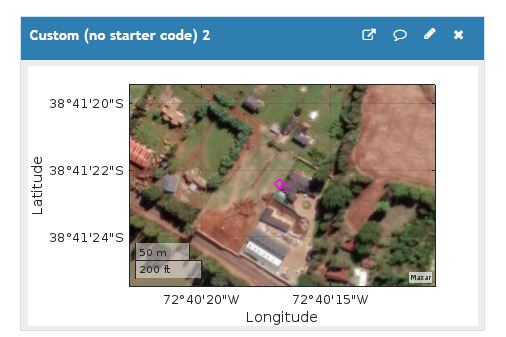
ax=gca;
ax.ZoomLevel=17;
I would suggest using a single read.
myData=thingSpeakRead(...'fields','[3,4]');
myMap= geoscatter(myData(:,1),myData(:,2));
You can change the zoom level on the map, but it should default to show the scatter of your points.
you can use geolimits to change the limits
geolimits(2*[min(myData(:,1) max(myData(:,1))],[min(myData(:,2) max(myData(:,2))]); % not tested syntax
Sign in to participate